
Archive
Map of the Month
Maps that caught our eye, one month at a time.
November 2026
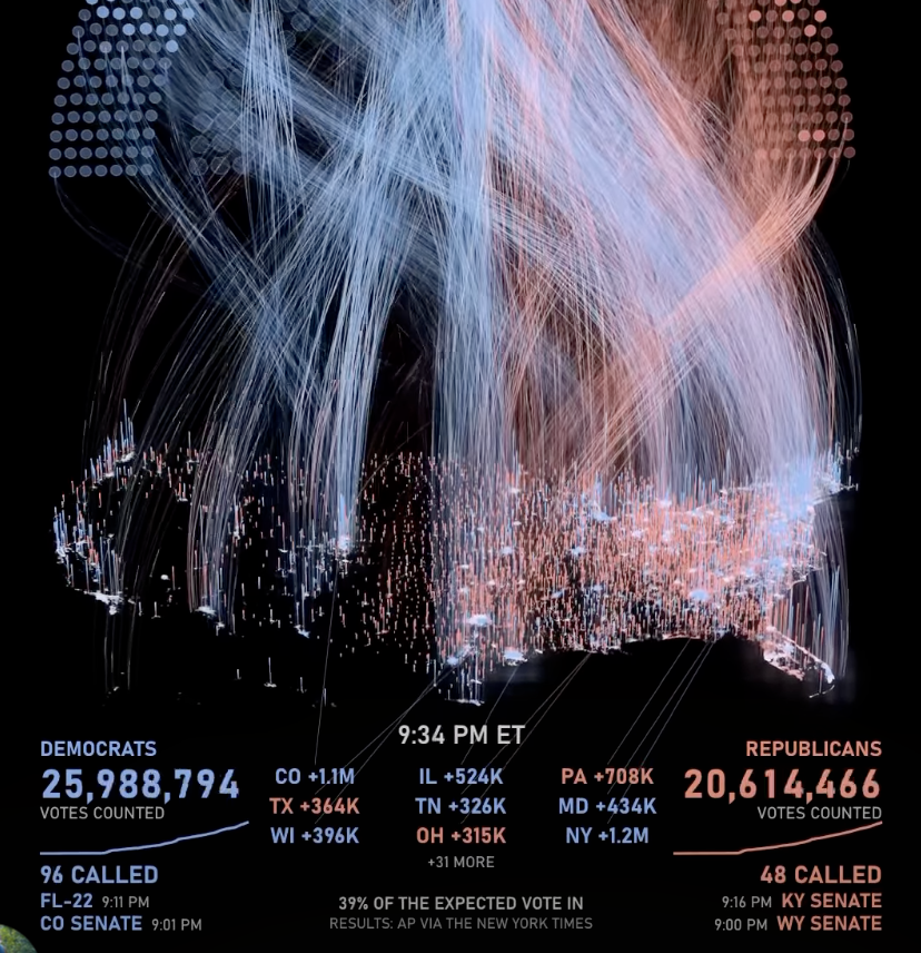
Midterms 2026 from 6 PM ET election night
Midterms 2026 from 6 PM ET election night to 5:03 PM ET the next day. results from AP via The New York Times.
August 2026
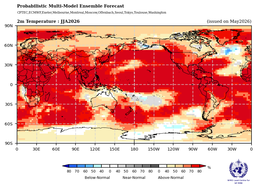
Global Seasonal Climate Update for June-July-August 2026
May 2026
Shakespeare’s World
January 2026
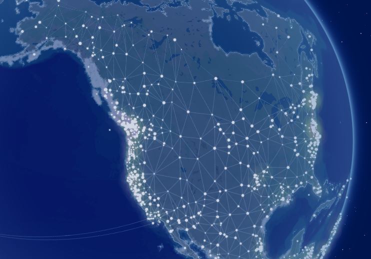
The native-land.ca Constellation Map
The native-land.ca Constellation Map reimagines how Indigenous nations can be shown by highlighting relationships, connections, and presence rather than strict borders.
This map displays nations as glowing points linked together in a constellation-like network, with only faint hints of territorial shapes in the background. It’s a way of inviting users to explore Indigenous land, waters, and people through a more interconnected lens.
October 2025
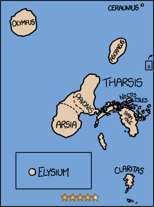
What If: We drained the oceans onto Mars?
December 2024
Transportation theme navigates to GA for Overture Maps

November 2024
#30 Day Map Challenge
So many maps! Check them out on LinkedIn.
October 2024
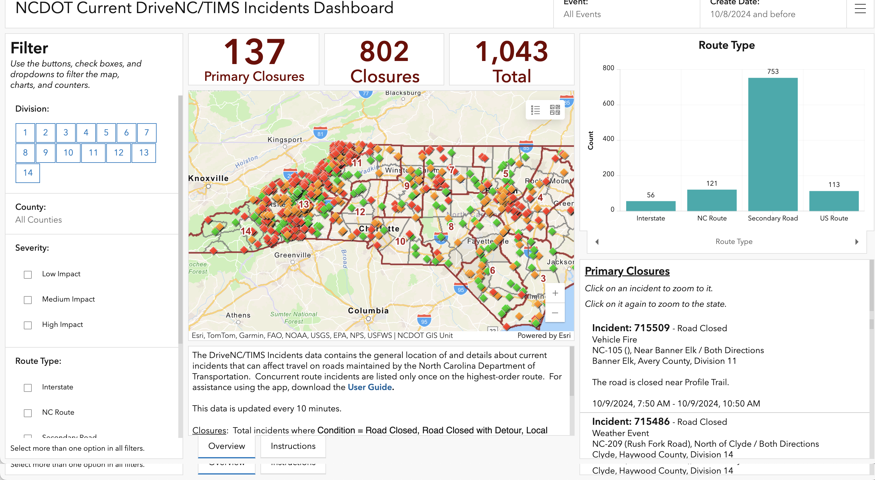
NCDOT Current DriveNC/TIMS Incidents Dashboard
Showing hundreds of closures and incidents across the state of North Carolina during the aftermath of Hurricane Helene.
September 2024
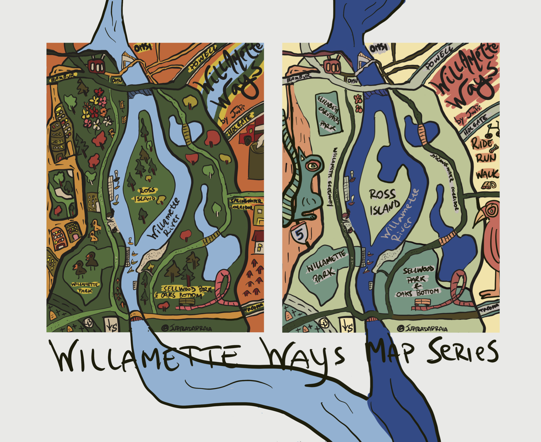
Willamette Ways by JUUPI
This month’s map came by way of the winning submission for the Make Your Mark Map Competition.